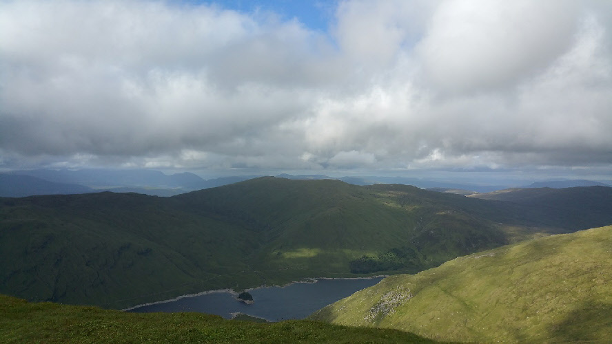
Meall Buidhe from Stuchd an Lochain.
Meaning - Yellow Hill
Summit Location - NN49840, 49940
Height - 932m
Munro Number - 248
Distance - 8.6km
Total Ascent - 676m
Estimated Time - 2hrs up / 1hr down
Difficulty - 2/5
OS Explorer Map - OL48
Climbed - 2017
Weather - A little cloud with sunny spells. Pleasant.
Meall Buidhe is in a fairly remote location. You’ll spend around an hour driving
on narrow, winding, single track roads to get to the base at Giorra Dam. This can
be tricky to find, don’t rely on your sat nav - take a good road map and check it
carefully. A couple of kilometres before you reach the dam the road is gated to keep
deer in (or out). Access isn’t a problem though - it’s unlocked.
Giorra Dam is also the start point for the walk to Stuchd an Lochain, another Munro
a few kilometres to the south. Since both the walks are reasonably short and the
drive in long some people will want to climb both in the same day, though you’d need
to return to the dam between the two peaks. My advice is to do them as two separate
walks, especially if you’re not visiting in the long summer months. The terrain to
get to each peak is somewhat tough - you’d need firm resolve to be able to march
past your car and up the next peak at the halfway point!
If you do choose to climb them both the same day start with Stuchd an Lochain as
the first part of the climb is rather steep and on a wet and muddy path - nice to
get this out of the way early. The first part of the ascent of Meall Buidhe is on
a good hydro track, which you soon leave to follow a much less established path.
The gradient is reasonably gentle, though the terrain is a little boggy in places.
I climbed Meall Buidhe on the first day of a week of walking - the climb served as
a good warm up. I used a slightly different route to the one described below, turning
right at the top of the hydro track and heading east. This route was described in
a guidebook, with the intention to follow a track onto the hill between Meall a’
Phuill and Carn Lairig Meachdainn. I couldn’t find this track and ended up ascending
on open countryside, skipping from one dry patch to another to avoid the bogs. I
think I found the track at one point but it was nothing more than tyre tracks in
the peat. There’s no advantage in trying to find this way, the main path seems to
be as described below (which I used in descent).
Route
1 - Park close to the bridge under the dam and ascend a hydro track heading north,
past a notice board with information on restrictions during stalking season. After
a 200m or so the track reaches a T-junction, turn left to head west.
2 - The track track passes above the dam and starts to follow the loch. After about
half a kilometre you’ll see a small cairn and a path heading up the hill to your
right. Follow this.
3 - As you climb the path will seem to come and go but you should follow a broad
ridge heading north. Some parts are boggy, but the climb is reasonably gentle. After
almost two kilometres you reach the broad and long summit ridge to the west of Meall
a’ Phuill.
4 - Continue to the west over a minor top then follow the ridge for a further kilometre
to the north to reach Meall Buidhe without any difficulty.
5 - Return by route of ascent.