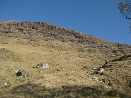
Beinn Sgulaird as seen from above Glenure Farm.
Meaning - Mountain of the Old Hat
Summit Location - NN05306, 46081
Height - 937m
Munro Number - 237
Distance - 9.9km
Total Ascent - 1002m
Time - 3hrs up / 2hrs down
Difficulty - 2/5
OS Explorer Map - 384
Climbed - 2012
Weather - Sunny skies, very little cloud. First day of summer!
A solitary hill, usually ascended from Glen Creran. Many choose the ascent from Druimavuic,
which follows a track onto an undulated ridge which must be followed for around 2.5km.
I opted for a shorter route, though with a fairly steep ascent, which starts slightly
further up the glen at Elleric.
Whichever route you choose be sure to save this peak for a good weather day. The
fact that Beinn Sgulaird sits apart from any other major peaks allows for outstanding
view in all directions. You’ll see what I mean if you view the picture gallery at
the bottom of this page.
Route
1 - Start at the small car park at Elleric, which lies at the end of the public road
in Glen Creran. Take the track towards Glenure Farm. You’ll cross a number of bridges.
2 - After about 1km you’ll reach the farm. Follow any signs marking the correct way
to the bridge over the River Ure. Continue on the track up Glen Ure, which crosses
a burn on a footbridge and thereafter continues as a footpath.
3 - Around 400m after the footbridge you’ll come to another burn which drops steeply
from the hills to you right. Climb the steep ground to the east of the burn, at first
past trees and then onto the open hillside. You should be able to pick a route between
the crags to reach the bealach between Stob Gaibhre and Beinn Sgulaird.
4 - From the bealach you’ll need to ascend Coire nan Tulach to your right. The gradient
isn’t too bad at first but the going soon gets steeper. You’ll reach Beinn Sgulaird’s
north top first (909m), from where you’ll need to descend to the southwest and then
make another 50m of ascent to reach the main summit.
5 - Picking a route between the crags will be harder in descent, and there’s a much
more direct way back to Elleric. So return by route of ascent is not advised. Instead
first descend to the col between Beinn Sgulaird and the north top. From there you
can then descend the rocky valley in a northwesterly direction initially, making
a turn to the southwest down a grassy slope after the first 100m or so of descent.
This should keep you clear of any crags but be careful. If at this point you head
toward the old stone shieling and sheep pens you’re going in the right direction.
6 - As the gradient eases, and trees start to appear on the slope, you’ll need to
make a turn in a northerly direction. You will probably come to a deer fence, which
you should follow, keeping it on your left. The descent becomes steeper again as
you approach the track in Glen Ure, which you should be able to regain by descending
between the trees.
7 - Once you reach the track make a left turn, cross the River Ure at the bridge
and return through the farm to Elleric (a reverse of the route in steps one and two).